Champawat Town
← Explore all places
City / Town Kumaon

Champawat Town

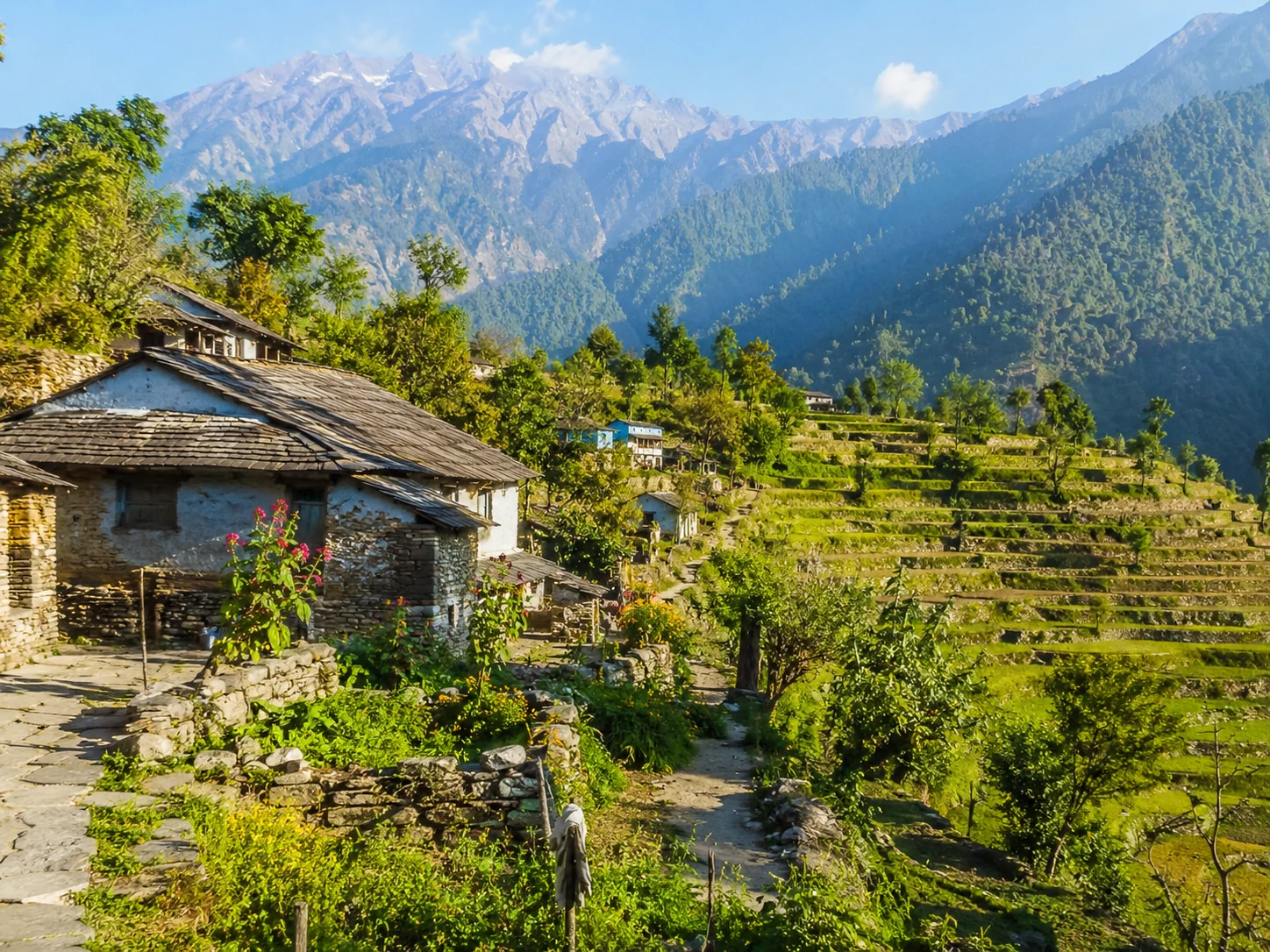
A historic Kumaon hill town of old temples, forested ridges, stone traditions, and the lingering memory of a mountain capital.

Champawat, Uttarakhand, India
Open in Maps
LocationChampawat, Uttarakhand, India
Altitude1,615 m
Place typeCity / Town
Best seasonMarch to June and September to November are generally comfortable for heritage walks and …

About the place

The feeling of Champawat Town

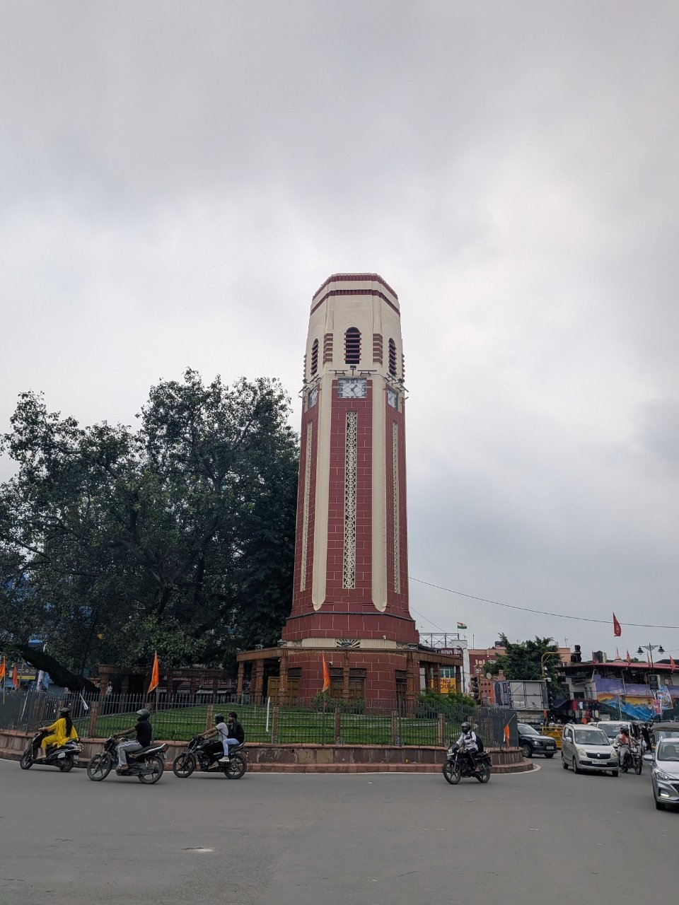
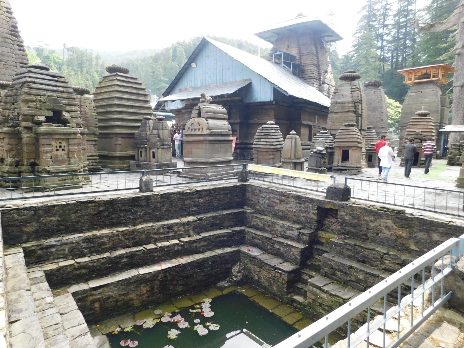
Champawat carries the quiet dignity of Kumaon history through old shrines, wooded slopes and a townscape shaped by the Chand rulers. Baleshwar Temple anchors its heritage, while nearby roads open toward Lohaghat, Abbott Mount and Purnagiri, making the town both a destination and a thoughtful base for exploring eastern Uttarakhand.
How to reach

Your way to Champawat Town

Built from travel connections reviewed by Pahad Calling. Distances and times are guidance—not live traffic information.

Rishikesh to Champawat Town

By road
Distance
582 km
Drive time
15 h
Climb
+1,243 m
Directions in Maps ↗
  1. RishikeshStart · 372 m · Dehradun
  2. 24 km · 45 min · Highway
  3. Haridwar314 m · Haridwar
  4. 11 stops along the way558 km · 14 h 15 minRoorkee · Muzaffarnagar · Meerut +8
    1. 31 km · 50 min · Highway
      Roorkee
    2. 54 km · 1 h 15 min · Highway
      Muzaffarnagar
    3. 57 km · 1 h 10 min · Highway
      Meerut
    4. 46 km · 1 h · Connection under review
      Ghaziabad
    5. 35 km · 50 min · Highway
      Hapur
    6. 88 km · 2 h · Highway
      Moradabad
    7. 74 km · 2 h 15 min · Highway
      Rudrapur
    8. 19 km · 30 min · Highway
      Kichha
    9. 28 km · 40 min · Highway
      Sitarganj
    10. 27 km · 40 min · Highway
      Khatima
    11. 24 km · 35 min · Highway
      Tanakpur
    12. 75 km · 2 h 30 min · Hill road
  5. Champawat TownArrive · 1,615 m · Champawat

Continue exploring

More from Uttarakhand