Dayara Bugyal
← Explore all places
Meadow / Bugyal Garhwal

Dayara Bugyal

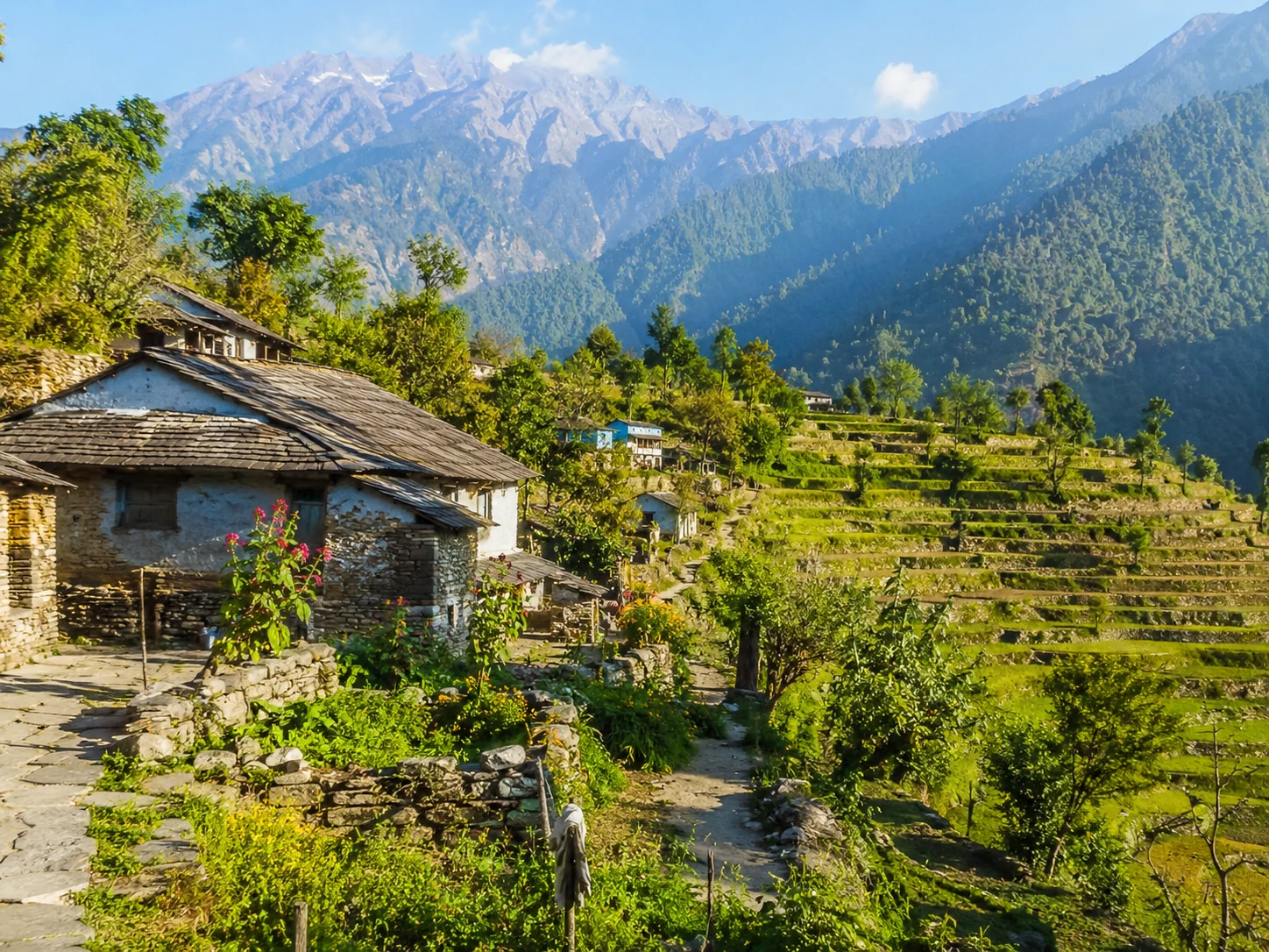
A sweeping high-altitude meadow above Bhatwari, changing from green summer pasture to snow-covered winter slopes beneath the Garhwal peaks.

Uttarkashi, Uttarakhand, India
Open in Maps
LocationUttarkashi, Uttarakhand, India
Altitude3,048 m
Place typeMeadow / Bugyal
Best seasonMay to November is generally suitable for green meadows and clear trekking conditions, wh…

About the place

The feeling of Dayara Bugyal

Dayara Bugyal spreads across a high meadow system above the villages of Uttarkashi district. Forest trails gradually open into rolling grassland and wide Himalayan views, giving the trek a different character in every season, from spring flowers and grazing herds to deep winter snow.
How to reach

Your way to Dayara Bugyal

Built from travel connections reviewed by Pahad Calling. Distances and times are guidance—not live traffic information.

Rishikesh to Dayara Bugyal

Road + trek
Distance
204 km
Travel time
12 h 5 min
Climb
+2,676 m

9 km on foot

  1. RishikeshStart · 372 m · Dehradun
  2. 60 km · 2 h · Hill road
  3. Chamba1,676 m · Tehri Garhwal
  4. 11 km · 25 min · Hill road
  5. New Tehri1,804 m · Tehri Garhwal
  6. 47 km · 1 h 35 min · Hill road
  7. Dharasu Bend
  8. 36 km · 1 h 5 min · Hill road
  9. Uttarkashi Town1,158 m · Uttarkashi
  10. 31 km · 1 h · Hill road
  11. Bhatwari
  12. 10 km · 30 min · Local road
  13. Raithal
  14. 9 km · 5 h 30 min · on foot
  15. Dayara BugyalArrive · 3,048 m · Uttarkashi

Continue exploring

More from Uttarakhand