Har Ki Dun
← Explore all places
Valley Garhwal

Har Ki Dun

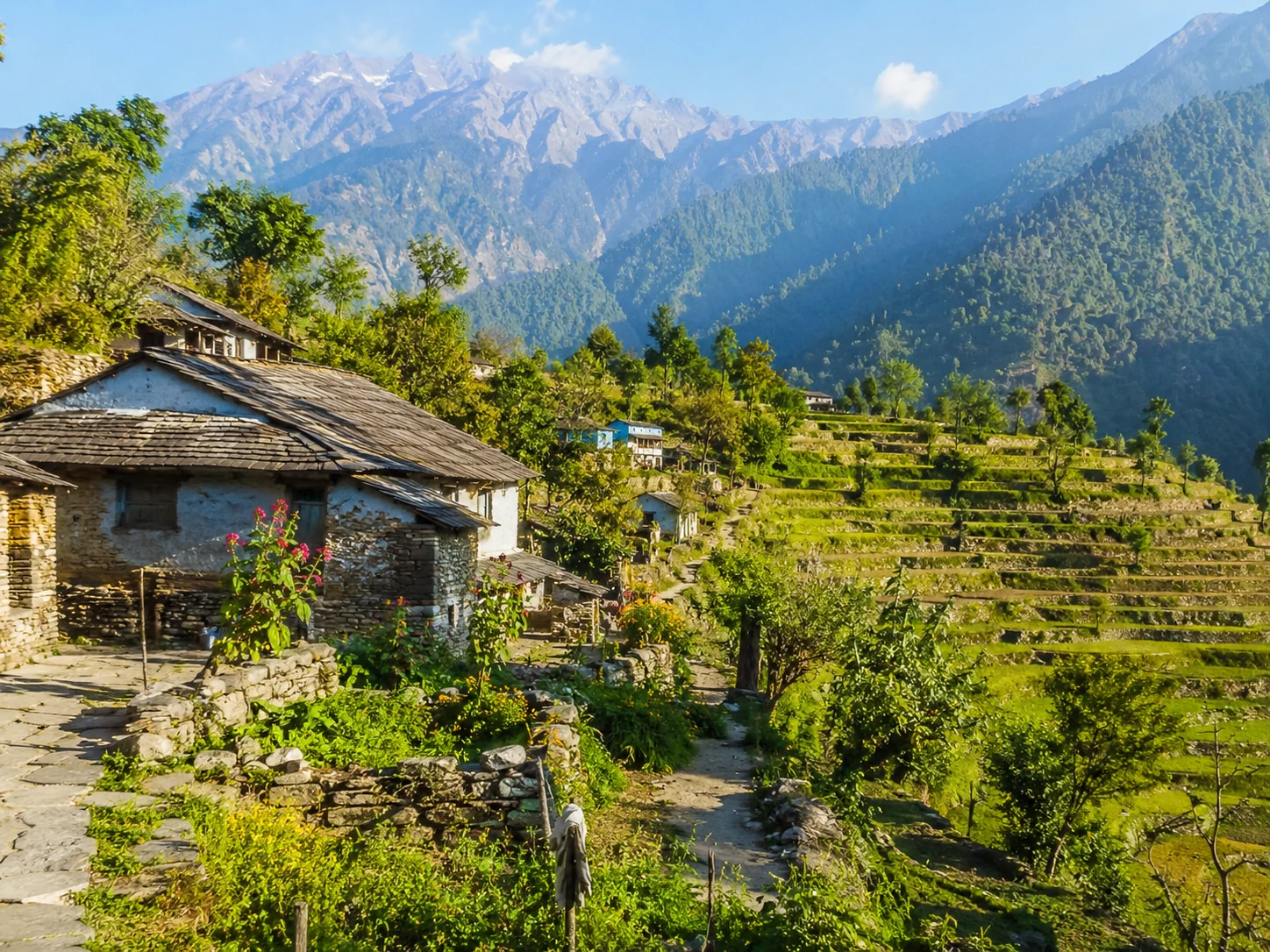
A cradle-shaped Himalayan valley reached through old wooden villages, forests, rivers, alpine meadows, and the remote cultural landscape of Govind.

Uttarkashi, Uttarakhand, India
Open in Maps
LocationUttarkashi, Uttarakhand, India
Altitude3,500 m
Place typeValley
Best seasonApril to June and September to November are usually the practical trekking periods. Snow …

About the place

The feeling of Har Ki Dun

Har Ki Dun is a broad high-altitude valley within the Govind landscape, approached through forests and traditional villages such as Osla. The multi-day trek combines mountain scenery with living architecture and local culture, gradually opening toward meadows, streams and the Swargarohini group.

How to reach

Your way to Har Ki Dun

Built from travel connections reviewed by Pahad Calling. Distances and times are guidance—not live traffic information.

Rishikesh to Har Ki Dun

Road + trek
Distance
290 km
Travel time
24 h 20 min
Climb
+3,128 m

28 km on foot

  1. RishikeshStart · 372 m · Dehradun
  2. 39 km · 1 h 10 min · Hill road
  3. Dehradun640 m · Dehradun
  4. 38 km · 1 h 30 min · Hill road
  5. Mussoorie2,005 m · Dehradun
  6. 4 stops along the way149 km · 5 h 15 minNainbagh · Damta · Naugaon +1
    1. 44 km · 1 h 30 min · Hill road
      Nainbagh
    2. 33 km · 1 h 10 min · Hill road
      Damta
    3. 25 km · 55 min · Hill road
      Naugaon
    4. 17 km · 40 min · Hill road
      Purola
    5. 30 km · 1 h · Hill road
  7. Mori1,150 m · Uttarkashi
  8. 12 km · 30 min · Hill road
  9. Netwar
  10. 14 km · 40 min · Hill road
  11. Sankri1,950 m · Uttarkashi
  12. 10 km · 45 min · Hill road
  13. Taluka
  14. 13 km · 6 h 30 min · on foot
  15. Osla
  16. 15 km · 8 h · on foot
  17. Har Ki DunArrive · 3,500 m · Uttarkashi

Continue exploring

More from Uttarakhand