Kedarkantha
← Explore all places
Peak / Summit Garhwal

Kedarkantha

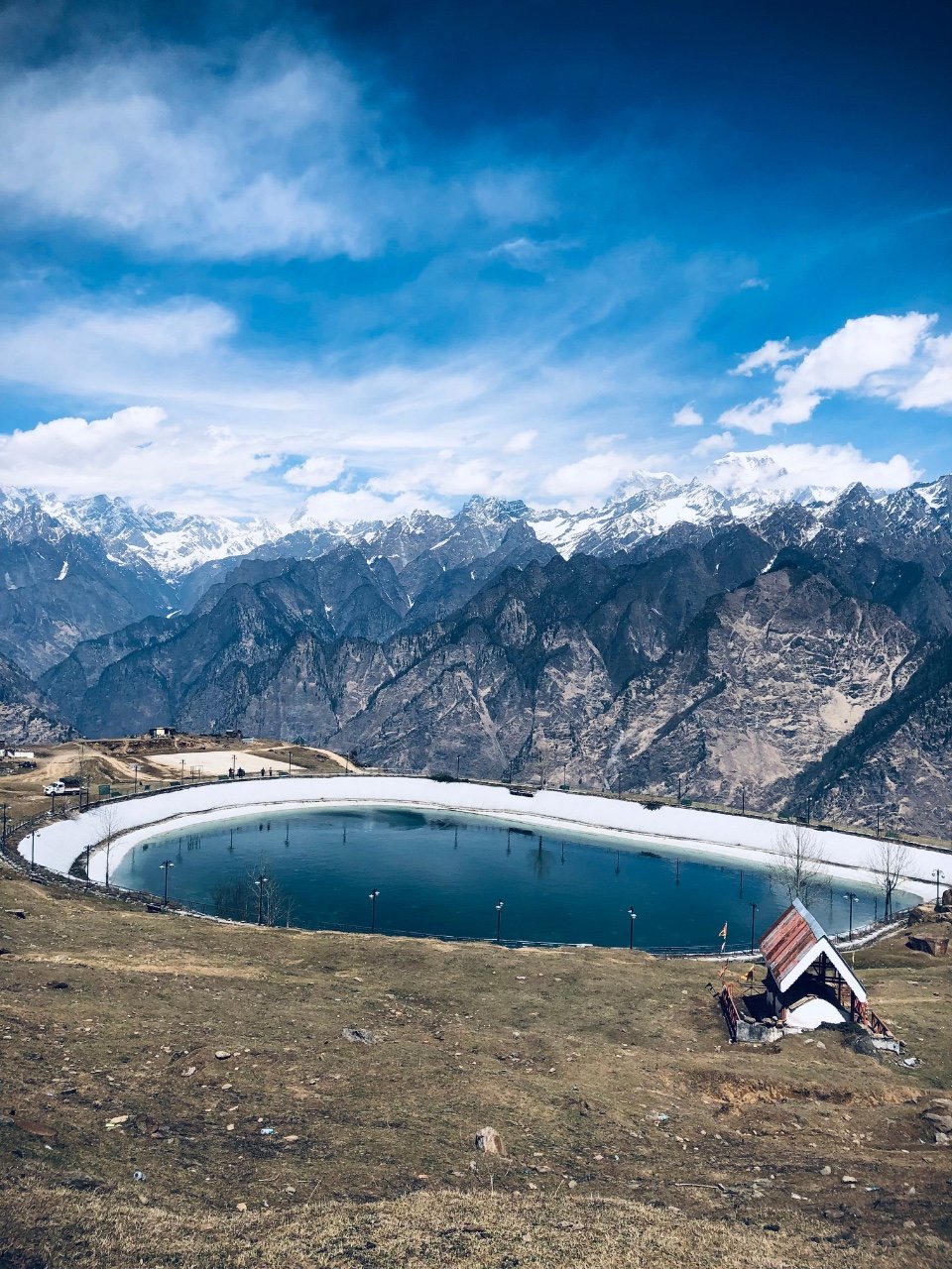
A popular snow summit above Sankri, reached through pine forests, frozen clearings, camps, and a final ridge opening to Himalayan views.

Uttarkashi, Uttarakhand, India
Open in Maps
LocationUttarkashi, Uttarakhand, India
Altitude3,810 m
Place typePeak / Summit
Best seasonDecember to April is popular for snow, while April to June and September to November offe…

About the place

The feeling of Kedarkantha

Kedarkantha is a high summit trek within the Govind region, known for forest trails, winter snow and a broad panorama from the upper ridge. Its popularity can make the route busy, but careful timing and responsible trekking still reveal the quiet beauty of Sankri's surrounding mountains.
How to reach

Your way to Kedarkantha

Built from travel connections reviewed by Pahad Calling. Distances and times are guidance—not live traffic information.

Rishikesh to Kedarkantha

Road + trek
Distance
263 km
Travel time
19 h 5 min
Climb
+3,438 m

11 km on foot

  1. RishikeshStart · 372 m · Dehradun
  2. 39 km · 1 h 10 min · Hill road
  3. Dehradun640 m · Dehradun
  4. 38 km · 1 h 30 min · Hill road
  5. Mussoorie2,005 m · Dehradun
  6. 4 stops along the way149 km · 5 h 15 minNainbagh · Damta · Naugaon +1
    1. 44 km · 1 h 30 min · Hill road
      Nainbagh
    2. 33 km · 1 h 10 min · Hill road
      Damta
    3. 25 km · 55 min · Hill road
      Naugaon
    4. 17 km · 40 min · Hill road
      Purola
    5. 30 km · 1 h · Hill road
  7. Mori1,150 m · Uttarkashi
  8. 12 km · 30 min · Hill road
  9. Netwar
  10. 14 km · 40 min · Hill road
  11. Sankri1,950 m · Uttarkashi
  12. 4 km · 3 h · on foot
  13. Juda Ka Talab
  14. 4 km · 3 h · on foot
  15. Kedarkantha Base Camp
  16. 3 km · 4 h · on foot
  17. KedarkanthaArrive · 3,810 m · Uttarkashi

Continue exploring

More from Uttarakhand