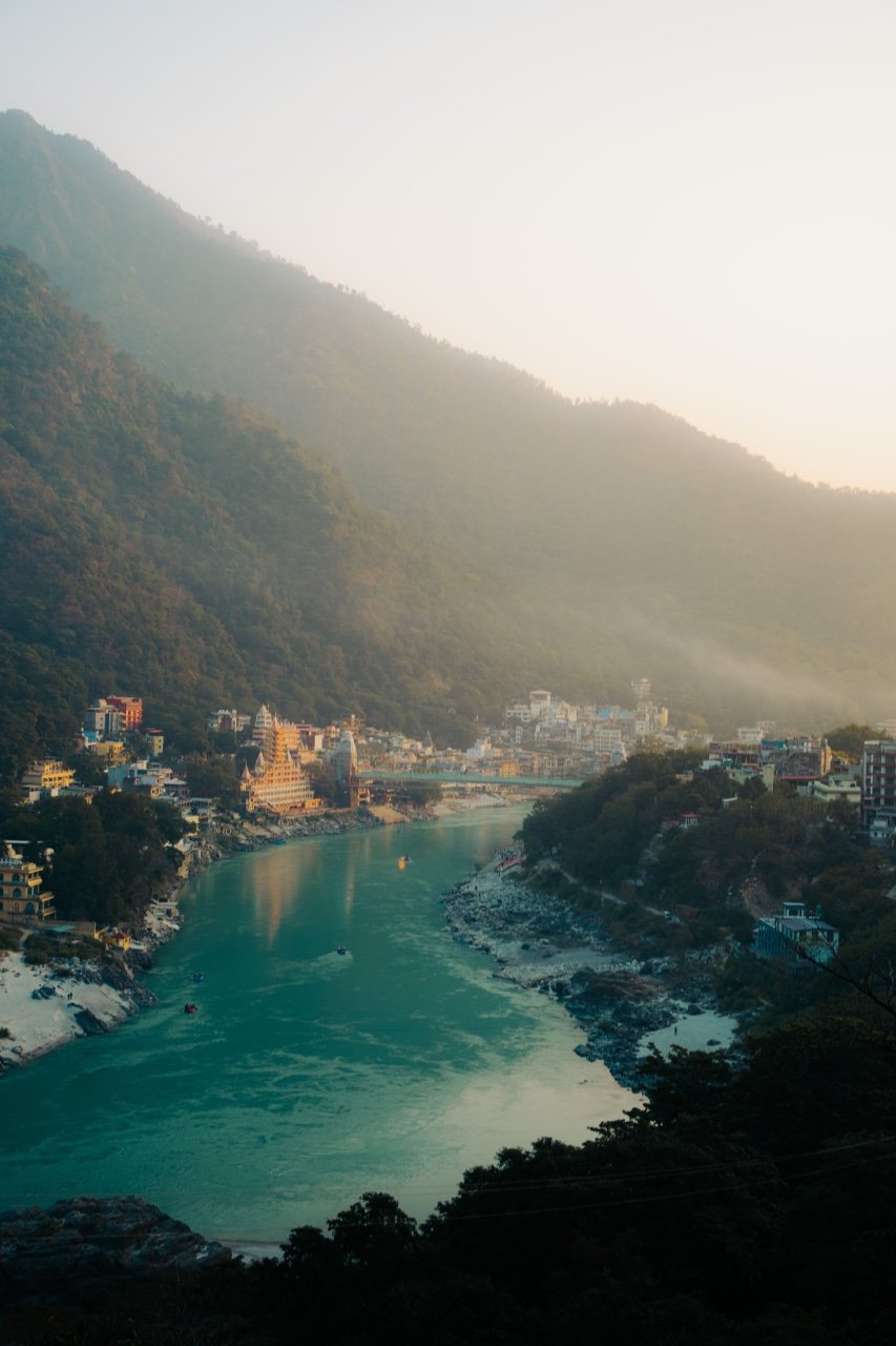
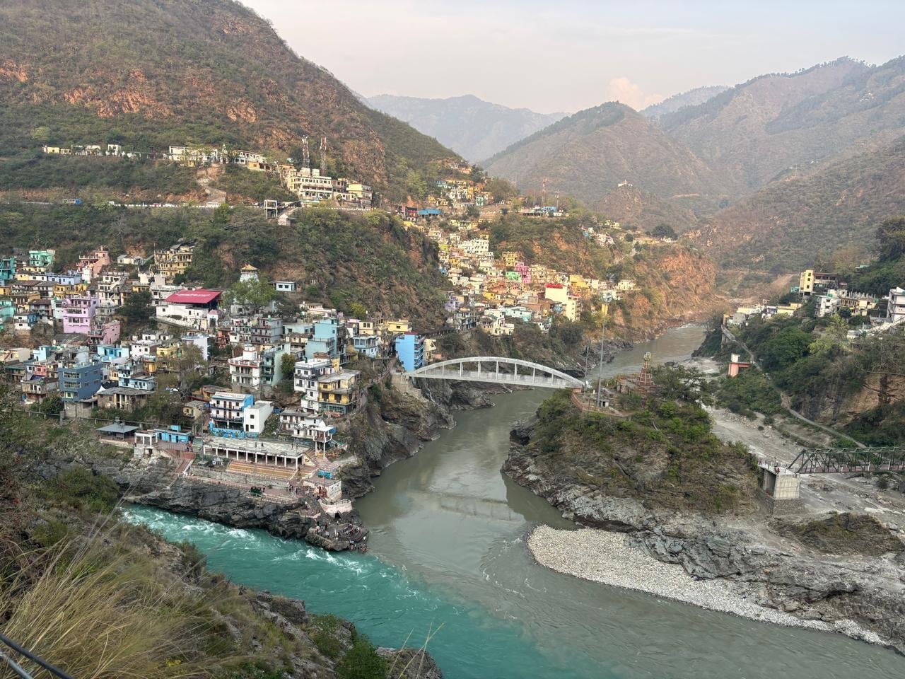
About the place
The feeling of Mana Village
Mana Village is a mountain place connected with local memories, travel stories, blogs and slow journeys.
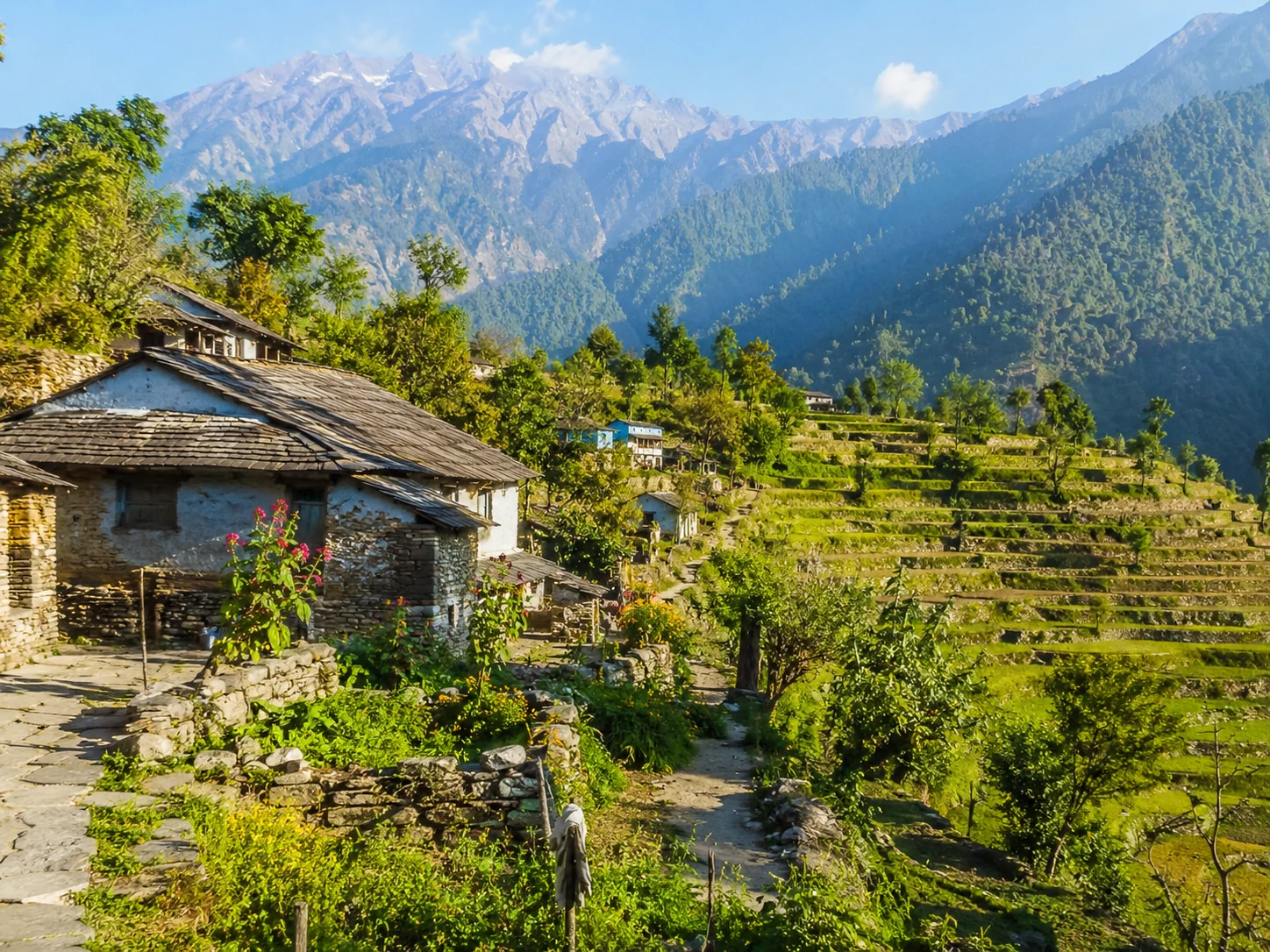
A Himalayan village near Badrinath in Chamoli district.
About the place
Mana Village is a mountain place connected with local memories, travel stories, blogs and slow journeys.
How to reach
Built from travel connections reviewed by Pahad Calling. Distances and times are guidance—not live traffic information.
Continue exploring
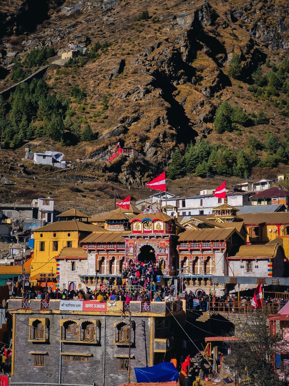
A sacred high-Himalayan dham where devotion, the Alaknanda, and raw mountain silence meet near India’s northern frontier.
Explore →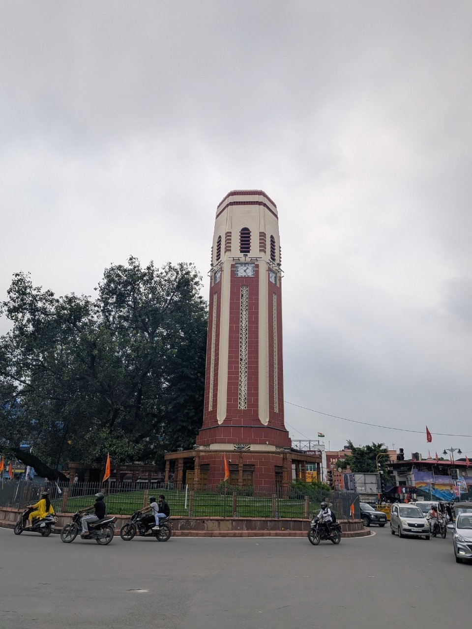
The Doon Valley gateway to Mussoorie, Rishikesh, forests, old institutions and Himalayan journeys.
Explore →
A forest-framed Himalayan lake where clear reflections, short trekking, and Chaukhamba views create a quiet mountain reward.
Explore →