Nag Tibba
← Explore all places
Peak / Trek Garhwal

Nag Tibba

A forested Lesser Himalayan summit above quiet villages, offering a compact mountain trek, temple traditions, camps, and wide views of snowy ranges.

Tehri Garhwal, Uttarakhand, India
Open in Maps
LocationTehri Garhwal, Uttarakhand, India
Altitude3,048 m
ExperiencePeak / Trek
Best seasonOctober to April is popular for clear views and winter snow, while March to June offers g…

About the place

The feeling of Nag Tibba

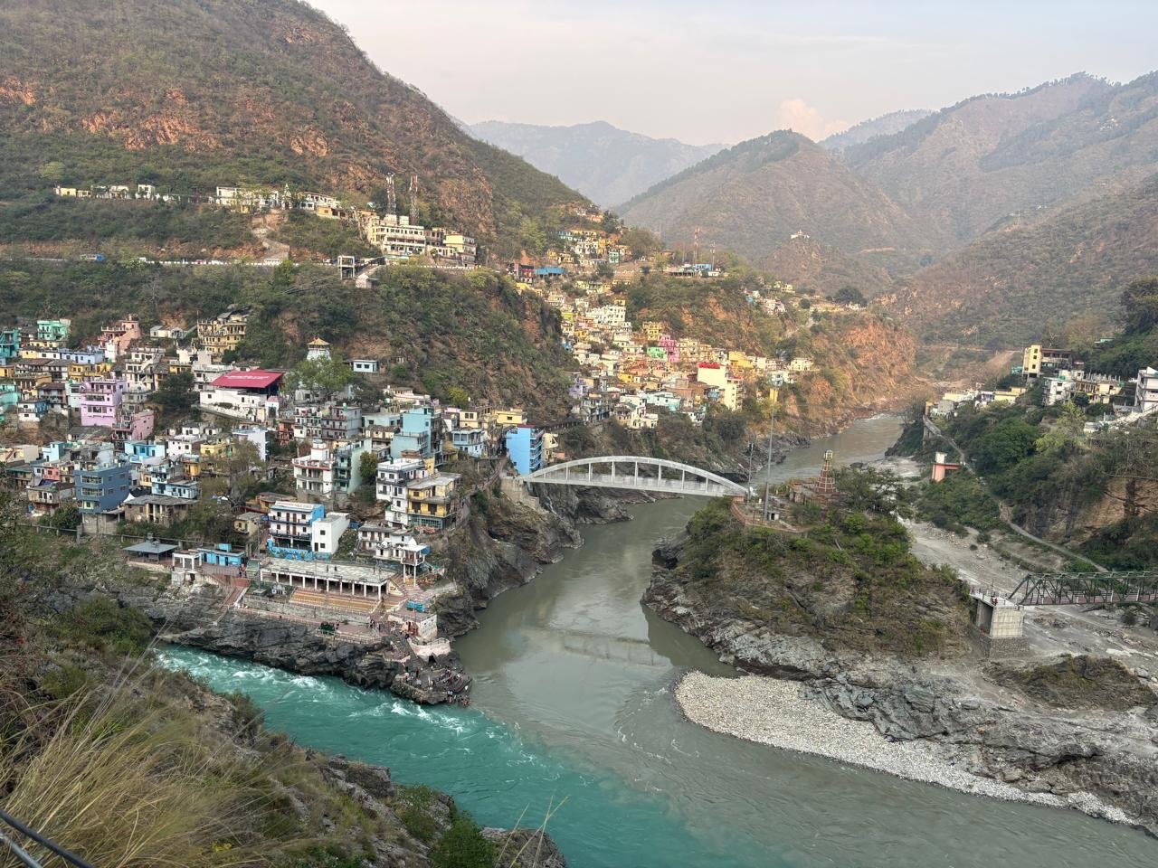
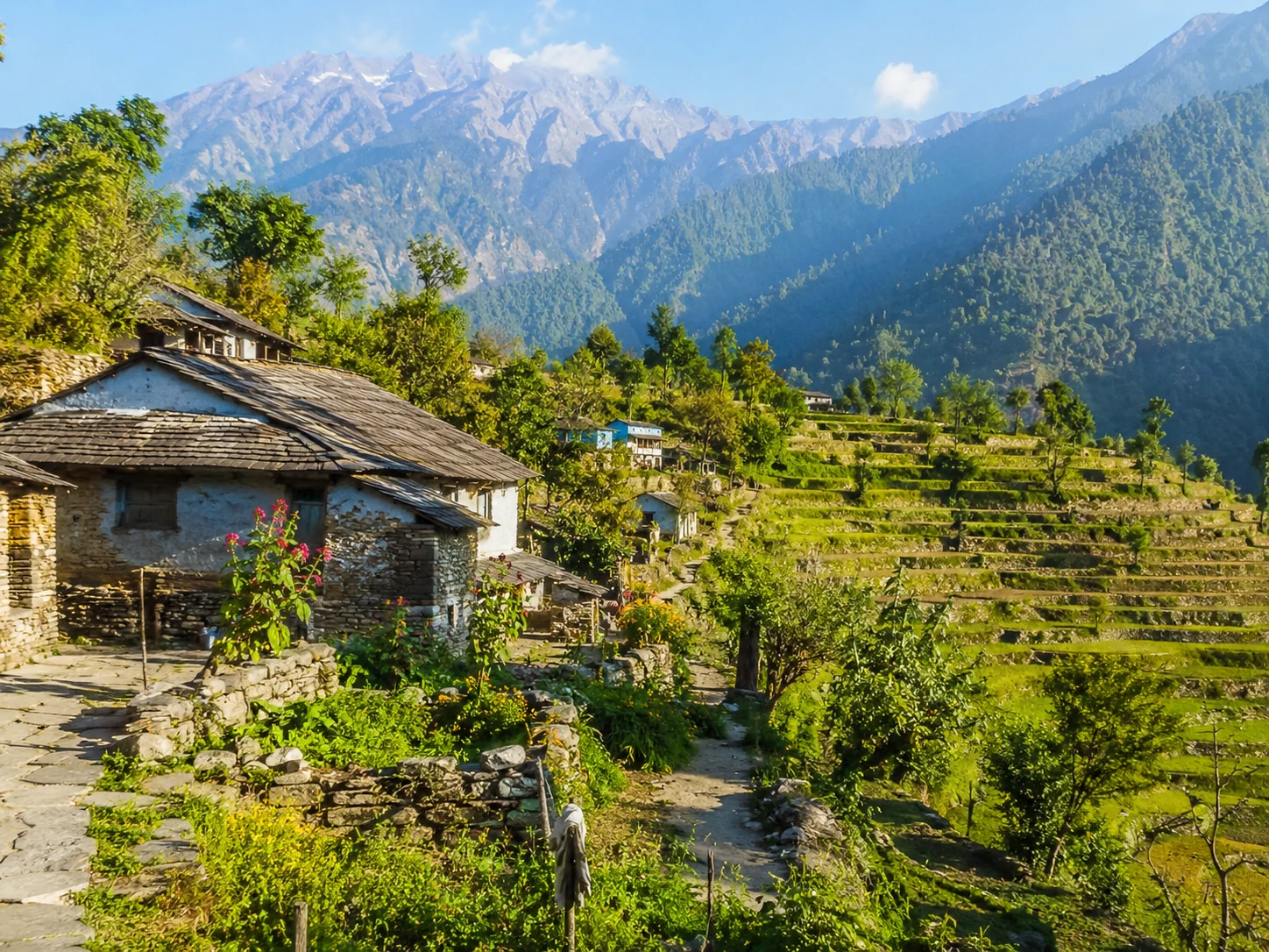
Nag Tibba rises above the villages of Tehri Garhwal and is one of the region's most approachable summit treks. Trails pass through forest, grazing clearings and camps before reaching the Nag Devta temple and upper ridge, where clear weather reveals sweeping views across the Garhwal Himalaya.
How to reach

Your way to Nag Tibba

Built from travel connections reviewed by Pahad Calling. Distances and times are guidance—not live traffic information.

Route 1

Rishikesh to Nag Tibba

132 km 10 hrs 10 min
Rishikesh City
Hill Road 39 km
Dehradun City
Hill Road 85 km
Pantwari Trailhead
Walking Trail 8 km
Nag Tibba Landmark
Route 2

Rishikesh to Nag Tibba

218 km 12 hrs 47 min
Rishikesh City
Highway 24 km
Haridwar City
Highway 31 km
Roorkee City
Highway 70 km
Dehradun City
Hill Road 85 km
Pantwari Trailhead
Walking Trail 8 km
Nag Tibba Landmark
Route 3

Rishikesh to Nag Tibba

245 km 14 hrs 40 min
Rishikesh City
Hill Road 60 km
Chamba Town
Hill Road 16 km
Kanatal Village
Hill Road 6 km
Kaddukhal Village
Hill Road 8 km
Dhanaulti Landmark
Hill Road 24 km
Mussoorie Landmark
Hill Road 38 km
Dehradun City
Hill Road 85 km
Pantwari Trailhead
Walking Trail 8 km
Nag Tibba Landmark

Continue exploring

More from Uttarakhand