Sonprayag
← Explore all places
City / Town Garhwal

Sonprayag

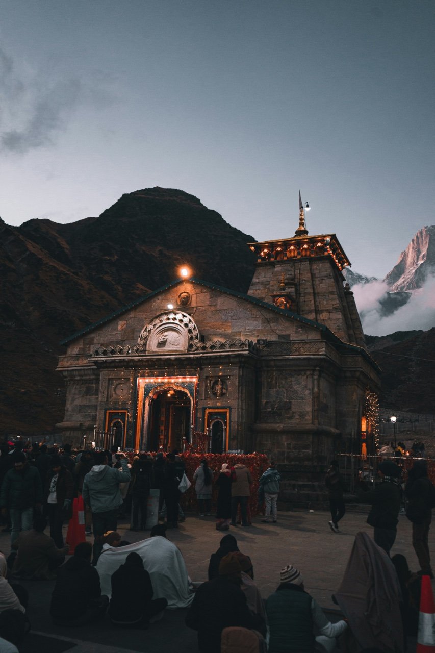
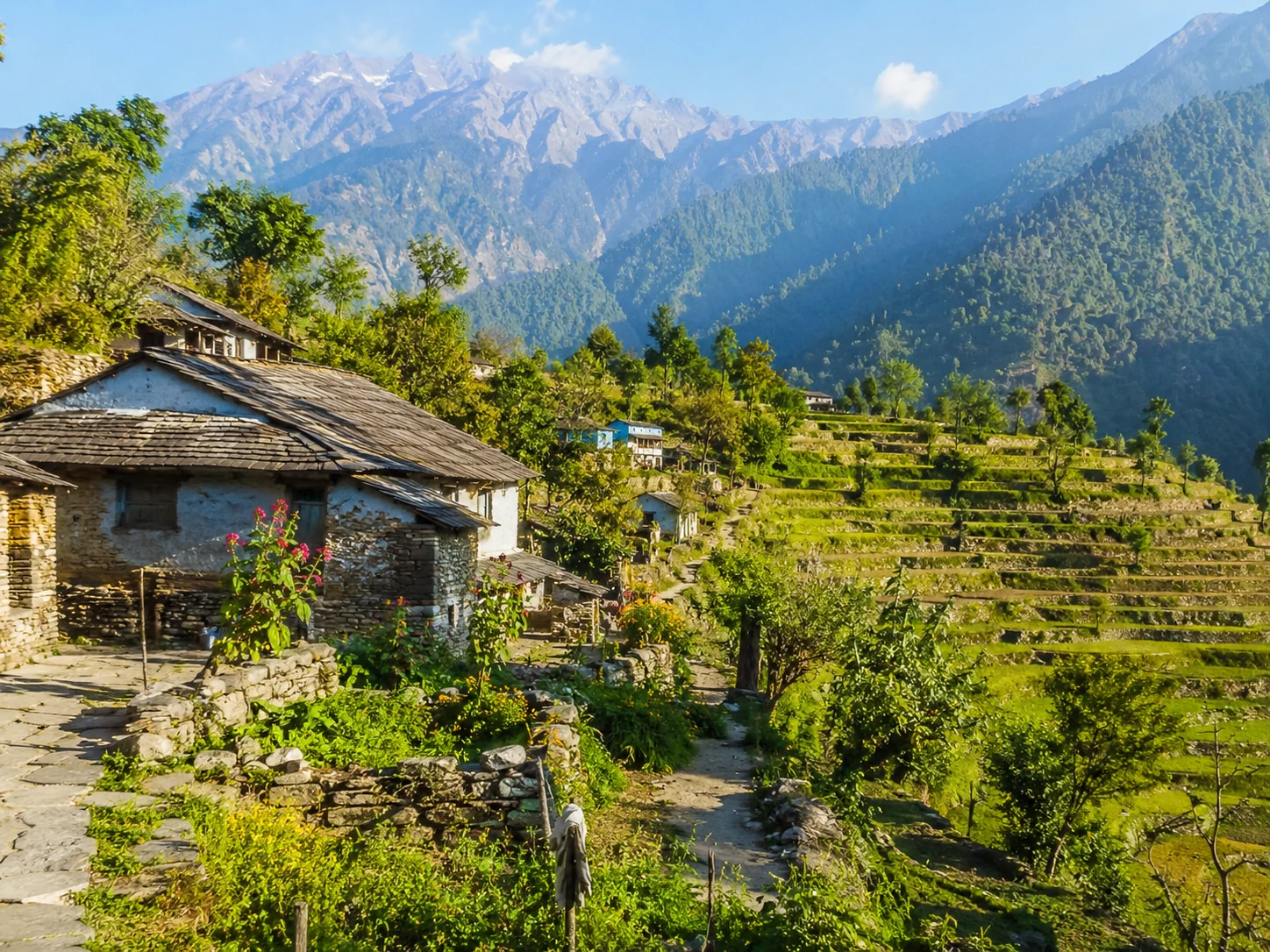
A busy high-valley halt at the meeting of mountain rivers, serving as the crucial road gateway for pilgrims continuing toward Kedarnath.

Rudraprayag, Uttarakhand, India
Open in Maps
LocationRudraprayag, Uttarakhand, India
Altitude1,829 m
Place typeCity / Town
Best seasonMay to June and September to October are the main practical periods, aligned with the Ked…

About the place

The feeling of Sonprayag

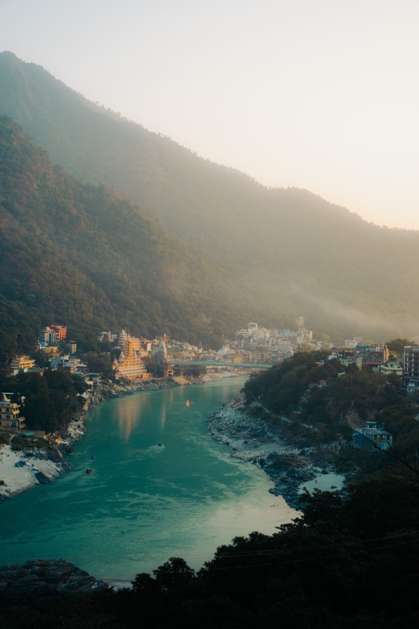
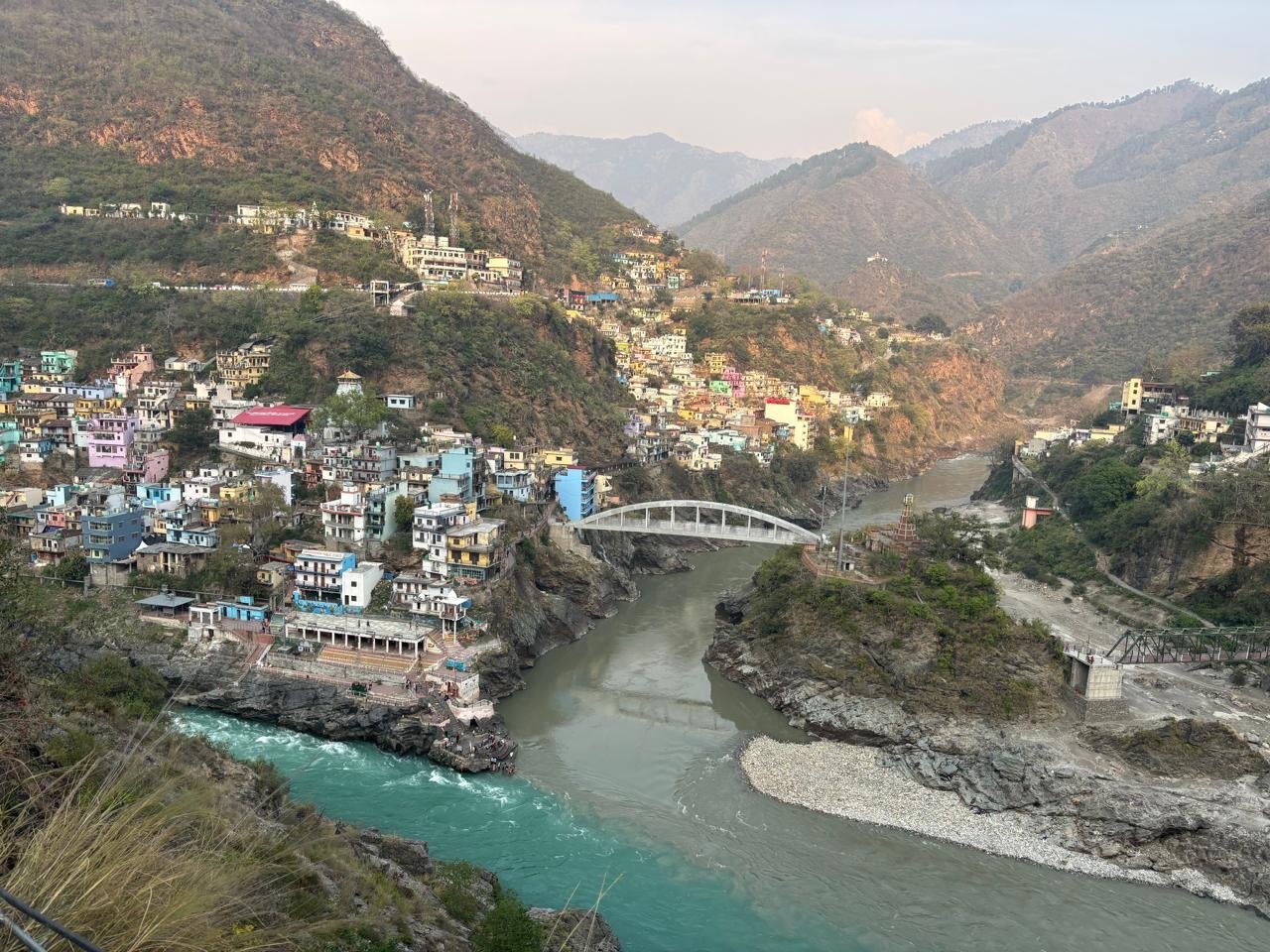
Sonprayag is a compact pilgrimage settlement on the Kedarnath route, close to the confluence of the Mandakini and Basuki rivers. During yatra months it becomes a major transport and control point, with pilgrims shifting toward regulated vehicles and the final road section leading to Gaurikund.
How to reach

Your way to Sonprayag

Built from travel connections reviewed by Pahad Calling. Distances and times are guidance—not live traffic information.

Rishikesh to Sonprayag

By road
Distance
217 km
Drive time
6 h 49 min
Climb
+1,457 m
Directions in Maps ↗
  1. RishikeshStart · 372 m · Dehradun
  2. 71 km · 2 h · Hill road
  3. Devprayag830 m · Tehri Garhwal
  4. 4 stops along the way117 km · 3 h 49 minSrinagar Garhwal · Rudraprayag · Agastyamuni +1
    1. 40.6 km · 1 h 19 min · Hill road
      Srinagar Garhwal
    2. 34 km · 1 h · Hill road
      Rudraprayag
    3. 17 km · 35 min · Hill road
      Agastyamuni
    4. 17 km · 35 min · Hill road
      Kund
    5. 8.1 km · 20 min · Hill road
  5. Guptkashi1,348 m · Rudraprayag
  6. 14.4 km · 30 min · Hill road
  7. Phata
  8. 15 km · 30 min · Hill road
  9. SonprayagArrive · 1,829 m · Rudraprayag

Continue exploring

More from Uttarakhand