Vasudhara Falls
← Explore all places
Waterfall Garhwal

Vasudhara Falls

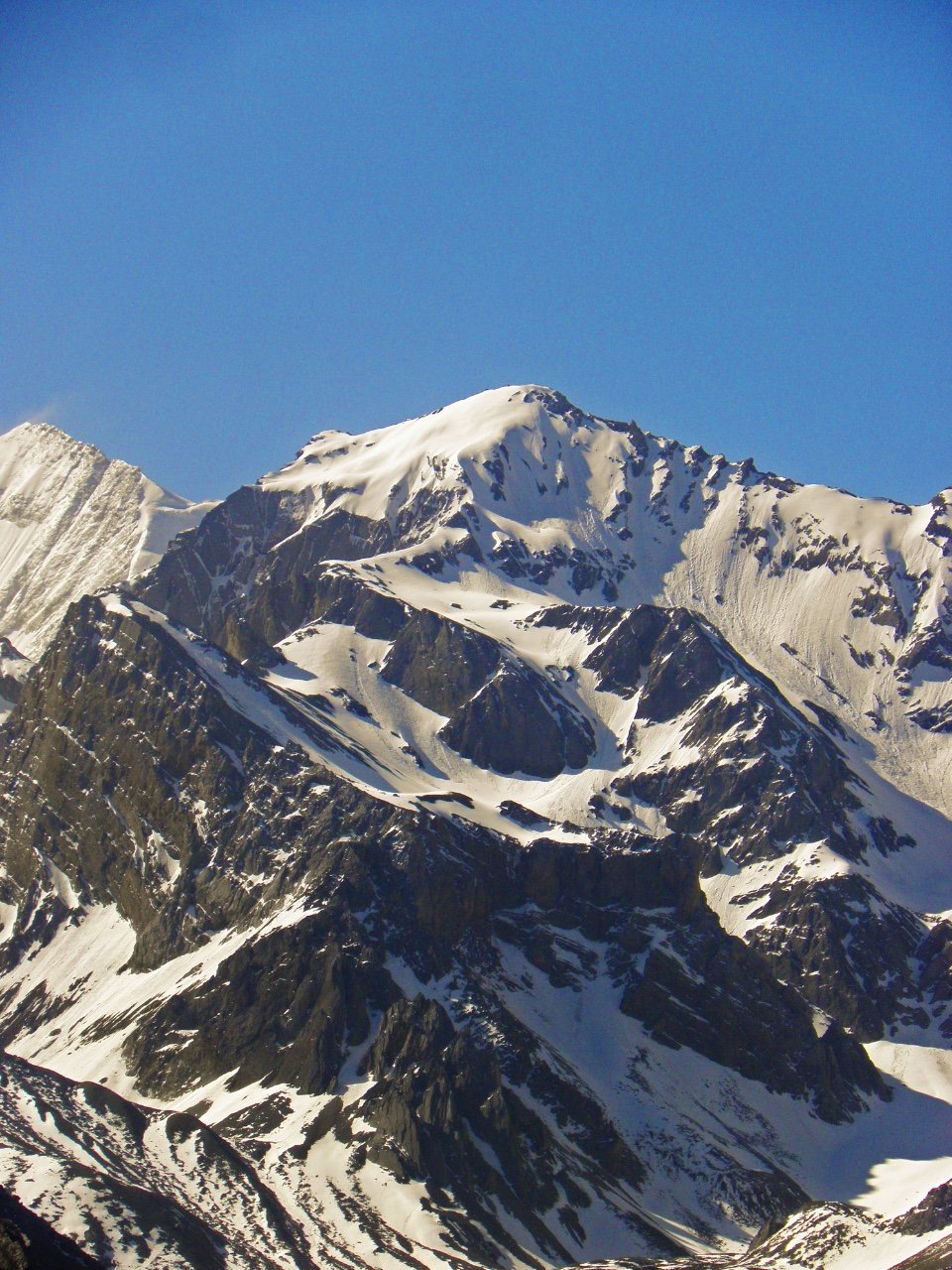
A high Himalayan waterfall beyond Mana, falling through wind and rock beneath snowy peaks, glaciers, and the stark silence of the upper valley.

Chamoli, Uttarakhand, India
Open in Maps
LocationChamoli, Uttarakhand, India
Altitude3,716 m
Place typeWaterfall
Best seasonMay to October is generally the accessible period, depending on the Badrinath road, snow …

About the place

The feeling of Vasudhara Falls

Vasudhara Falls lies beyond Mana Village on a rocky high-altitude trail, where water drops dramatically against glaciers and snowbound peaks. The open terrain, thin air and changing weather give the walk a raw Himalayan character, making the waterfall feel less like a roadside attraction and more like a reward at the edge of the inhabited valley.
How to reach

Your way to Vasudhara Falls

Built from travel connections reviewed by Pahad Calling. Distances and times are guidance—not live traffic information.

Rishikesh to Vasudhara Falls

Road + trek
Distance
316 km
Travel time
13 h 57 min
Climb
+3,344 m

6 km on foot

  1. RishikeshStart · 372 m · Dehradun
  2. 71 km · 2 h · Hill road
  3. Devprayag830 m · Tehri Garhwal
  4. 6 stops along the way189 km · 6 h 12 minSrinagar Garhwal · Rudraprayag · Karnaprayag +3
    1. 40.6 km · 1 h 19 min · Hill road
      Srinagar Garhwal
    2. 34 km · 1 h · Hill road
      Rudraprayag
    3. 33 km · 1 h 10 min · Hill road
      Karnaprayag
    4. 21 km · 40 min · Hill road
      Nandaprayag
    5. 10.4 km · 24 min · Hill road
      Chamoli
    6. 15.1 km · 30 min · Hill road
      Pipalkoti
    7. 35.2 km · 1 h 9 min · Hill road
  5. Joshimath1,875 m · Chamoli
  6. 21 km · 1 h 30 min · Mountain pass
  7. Govindghat
  8. 25 km · 1 h · Mountain pass
  9. Badrinath3,133 m · Chamoli
  10. 4 km · 15 min · Mountain pass
  11. Mana Village3,219 m · Chamoli
  12. 6 km · 3 h · on foot
  13. Vasudhara FallsArrive · 3,716 m · Chamoli

Continue exploring

More from Uttarakhand